Deflated Santa
Introduction
The photograph on this page of Deflated Santa by Des Blenkinsopp as part of the Geograph project.
The Geograph project started in 2005 with the aim of publishing, organising and preserving representative images for every square kilometre of Great Britain, Ireland and the Isle of Man.

There are currently over 7.5m images from over 14,400 individuals and you can help contribute to the project by visiting https://www.geograph.org.uk
Deflated Santa
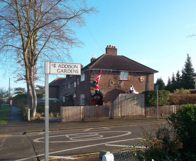
Image: © Des Blenkinsopp Taken: 12 Dec 2011
The junction of Addison Gardens with Lower Marsh Lane. The footway on the left is part of the London Loop long distance path which follows the Hogsmill River for much of the way between Kingston and Ewell but here has quite a long roadside section where access to the river is closed by a large sewage works. Hope Santa gets his breath back for Christmas.
Images are licensed for reuse under creativecommons.org/licenses/by-sa/2.0
Image Location
Latitude
51.401266
Longitude
-0.291269