Low Moorgate, Rillington
Introduction
The photograph on this page of Low Moorgate, Rillington by Pauline E as part of the Geograph project.
The Geograph project started in 2005 with the aim of publishing, organising and preserving representative images for every square kilometre of Great Britain, Ireland and the Isle of Man.

There are currently over 7.5m images from over 14,400 individuals and you can help contribute to the project by visiting https://www.geograph.org.uk
Low Moorgate, Rillington
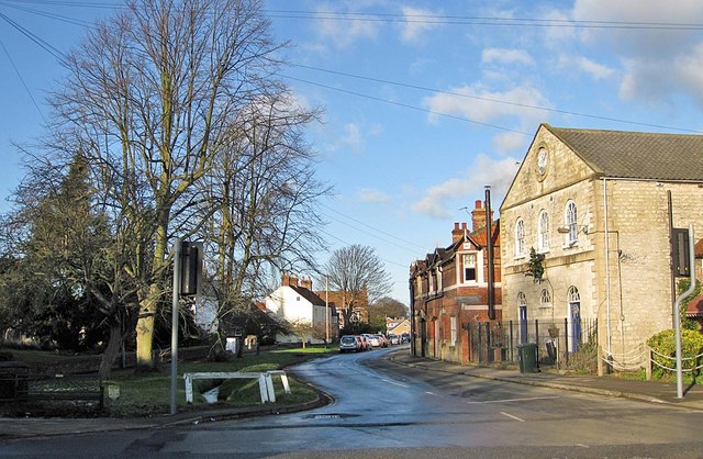
Image: © Pauline E Taken: 18 Dec 2011
Bethesda Chapel is on the right, and on the left, marked by the low white railing, is Rillington Beck, draining down from Thorpe Bassett Wold.
Images are licensed for reuse under creativecommons.org/licenses/by-sa/2.0
Image Location
Latitude
54.158523
Longitude
-0.695839