Housing Association Development at the Low Level Station
Introduction
The photograph on this page of Housing Association Development at the Low Level Station by John M as part of the Geograph project.
The Geograph project started in 2005 with the aim of publishing, organising and preserving representative images for every square kilometre of Great Britain, Ireland and the Isle of Man.

There are currently over 7.5m images from over 14,400 individuals and you can help contribute to the project by visiting https://www.geograph.org.uk
Housing Association Development at the Low Level Station
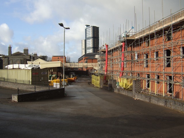
Image: © John M Taken: 18 Dec 2011
The private Fusion development has given way to social housing for the 'public sector' rented market.Image Image
Images are licensed for reuse under creativecommons.org/licenses/by-sa/2.0
Image Location
Latitude
52.587845
Longitude
-2.117743