Far Street (eastern end)
Introduction
The photograph on this page of Far Street (eastern end) by Alan Murray-Rust as part of the Geograph project.
The Geograph project started in 2005 with the aim of publishing, organising and preserving representative images for every square kilometre of Great Britain, Ireland and the Isle of Man.

There are currently over 7.5m images from over 14,400 individuals and you can help contribute to the project by visiting https://www.geograph.org.uk
Far Street (eastern end)
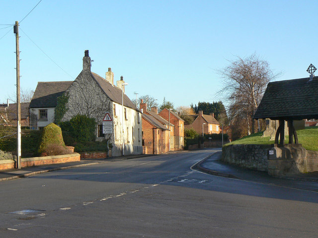
Image: © Alan Murray-Rust Taken: 12 Dec 2011
The main road from Wymeswold to Melton Mowbray where it leaves the village centre.
Images are licensed for reuse under creativecommons.org/licenses/by-sa/2.0
Image Location
Latitude
52.805869
Longitude
-1.106797