Side view of Libanus United Reformed Church, Ebbw Vale
Introduction
The photograph on this page of Side view of Libanus United Reformed Church, Ebbw Vale by Jaggery as part of the Geograph project.
The Geograph project started in 2005 with the aim of publishing, organising and preserving representative images for every square kilometre of Great Britain, Ireland and the Isle of Man.

There are currently over 7.5m images from over 14,400 individuals and you can help contribute to the project by visiting https://www.geograph.org.uk
Side view of Libanus United Reformed Church, Ebbw Vale
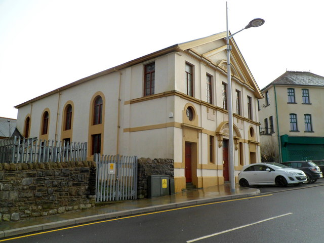
Image: © Jaggery Taken: 17 Dec 2011
Located at the southern end of Libanus Road. Built as Libanus Congregational Church in 1862, with modifications in 1916. http://www.geograph.org.uk/photo/2733615 to a front view.
Images are licensed for reuse under creativecommons.org/licenses/by-sa/2.0
Image Location
Latitude
51.780656
Longitude
-3.207437