May Bridge
Introduction
The photograph on this page of May Bridge by Jonathan Kington as part of the Geograph project.
The Geograph project started in 2005 with the aim of publishing, organising and preserving representative images for every square kilometre of Great Britain, Ireland and the Isle of Man.

There are currently over 7.5m images from over 14,400 individuals and you can help contribute to the project by visiting https://www.geograph.org.uk
May Bridge
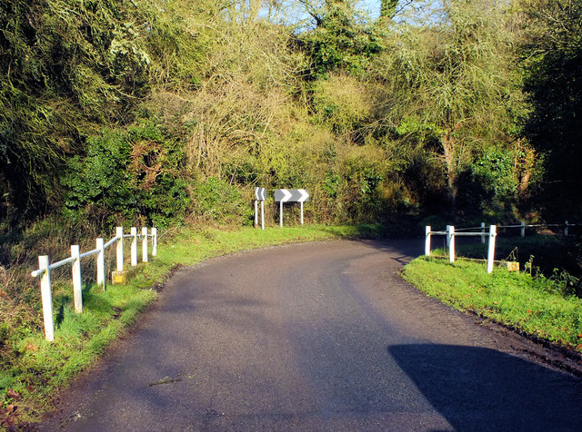
Image: © Jonathan Kington Taken: 16 Dec 2011
May Bridge crosses the upper end of the River Ebble at the eastern end of Ebbesbourne Wake, according to the yellow plaque on the left-hand buttress (Image) it was erected in 1936. There is a benchmark at the near end of the right-hand buttress, see Image
Images are licensed for reuse under creativecommons.org/licenses/by-sa/2.0
Image Location
Latitude
51.018884
Longitude
-2.009929