Midland Way
Introduction
The photograph on this page of Midland Way by Ruth Riddle as part of the Geograph project.
The Geograph project started in 2005 with the aim of publishing, organising and preserving representative images for every square kilometre of Great Britain, Ireland and the Isle of Man.

There are currently over 7.5m images from over 14,400 individuals and you can help contribute to the project by visiting https://www.geograph.org.uk
Midland Way
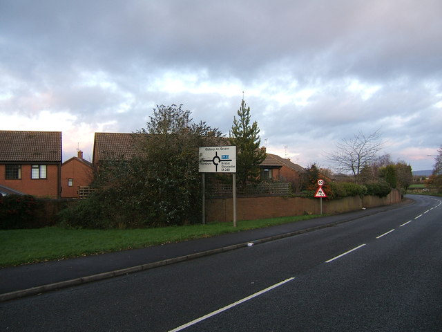
Image: © Ruth Riddle Taken: 17 Dec 2011
Midland Way acts as the southern boundary to Thornbury's housing estates, with houses backing onto it which front onto smaller roads and cul-de-sacs. This picture was taken from where the course of a dismantled railway crosses the road, though there are few clues to this left to see unless one compares the terrain with a detailed map.
Images are licensed for reuse under creativecommons.org/licenses/by-sa/2.0
Image Location
Latitude
51.60162
Longitude
-2.507892