Logierieve Station
Introduction
The photograph on this page of Logierieve Station by Richard Webb as part of the Geograph project.
The Geograph project started in 2005 with the aim of publishing, organising and preserving representative images for every square kilometre of Great Britain, Ireland and the Isle of Man.

There are currently over 7.5m images from over 14,400 individuals and you can help contribute to the project by visiting https://www.geograph.org.uk
Logierieve Station
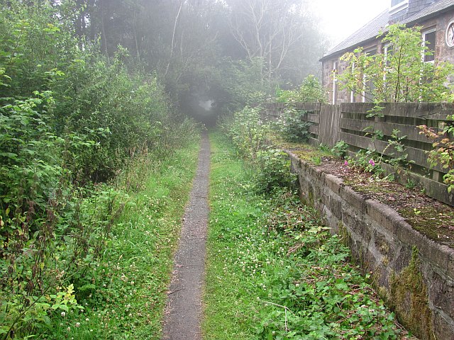
Image: © Richard Webb Taken: 4 Aug 2011
The site of Logierieve Station on the Formartine and Buchan Railway. The path is narrow, but easy to ride here. The Formartine and Buchan Railway is now a 80km path between Fraserburgh, Peterhead and Aberdeen. The railway closed in 1979 and was last used as part of the North Sea oil development, moving material up to Fraserburgh.
Images are licensed for reuse under creativecommons.org/licenses/by-sa/2.0
Image Location
Latitude
57.332294
Longitude
-2.132693