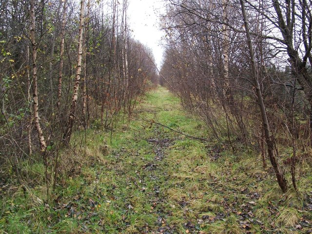
Dismantled railway line
Introduction
The photograph on this page of Dismantled railway line by Lairich Rig as part of the Geograph project.
The Geograph project started in 2005 with the aim of publishing, organising and preserving representative images for every square kilometre of Great Britain, Ireland and the Isle of Man.
There are currently over 7.5m images from over 14,400 individuals and you can help contribute to the project by visiting https://www.geograph.org.uk

Image: © Lairich Rig Taken: 17 Nov 2011
The clearing indicates the course that was followed by the Lanarkshire and Dumbarton railway line; see Image for further details. Here, the line was lower than its surroundings, and its course resembles a canal after prolonged periods of rainy weather. Not far to the left (north-east) is an actual canal (the Image); just to the right (south-west) of the dismantled line, but concealed by the trees, is a path (Image), and an area of waste ground that was formerly occupied by the Admiralty's fuel depot: http://www.geograph.org.uk/snippet/6052

