Henry Street Dumfries
Introduction
The photograph on this page of Henry Street Dumfries by Stephen Stachowiak as part of the Geograph project.
The Geograph project started in 2005 with the aim of publishing, organising and preserving representative images for every square kilometre of Great Britain, Ireland and the Isle of Man.

There are currently over 7.5m images from over 14,400 individuals and you can help contribute to the project by visiting https://www.geograph.org.uk
Henry Street Dumfries
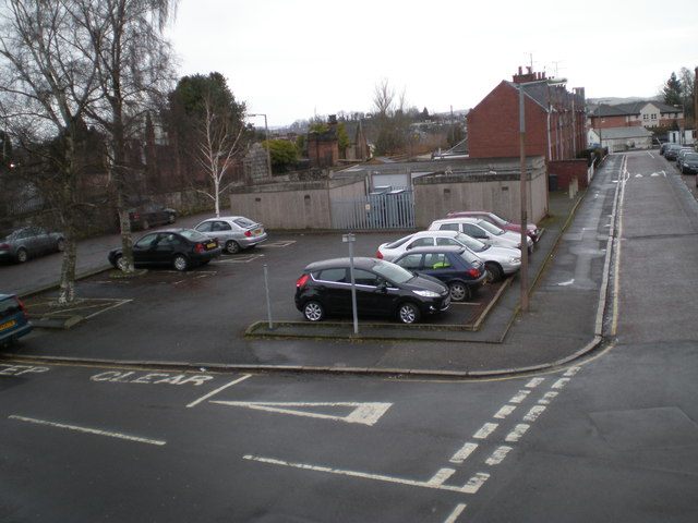
Image: © Stephen Stachowiak Taken: 27 Feb 2010
View along Henry Street from Wallace Street. St Michael's churchyard is on the left, and on the extreme left of the photo the mausoleum of Robert Burns can just be seen.
Images are licensed for reuse under creativecommons.org/licenses/by-sa/2.0
Image Location
Latitude
55.064917
Longitude
-3.604154