Greenbelt land at Widney Manor
Introduction
The photograph on this page of Greenbelt land at Widney Manor by Adrian Bailey as part of the Geograph project.
The Geograph project started in 2005 with the aim of publishing, organising and preserving representative images for every square kilometre of Great Britain, Ireland and the Isle of Man.

There are currently over 7.5m images from over 14,400 individuals and you can help contribute to the project by visiting https://www.geograph.org.uk
Greenbelt land at Widney Manor
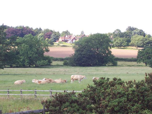
Image: © Adrian Bailey Taken: 14 Jul 2005
Looking across the Blythe from the M42 bridge, towards Lovelace Avenue.
Images are licensed for reuse under creativecommons.org/licenses/by-sa/2.0
Image Location


Leaflet Map data © OpenStreetMap
Latitude
52.3926
Longitude
-1.770714