Houses and the North Esk at Valleyfield, Penicuik
Introduction
The photograph on this page of Houses and the North Esk at Valleyfield, Penicuik by Jim Barton as part of the Geograph project.
The Geograph project started in 2005 with the aim of publishing, organising and preserving representative images for every square kilometre of Great Britain, Ireland and the Isle of Man.

There are currently over 7.5m images from over 14,400 individuals and you can help contribute to the project by visiting https://www.geograph.org.uk
Houses and the North Esk at Valleyfield, Penicuik
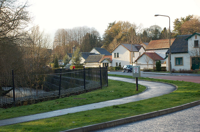
Image: © Jim Barton Taken: 15 Dec 2011
Part of a housing development at Valleyfield, where once stood Penicuik's first paper mill, opened in 1779, and the Penicuik railway station, terminus of the line from Edinburgh Waverley - see http://www.disused-stations.org.uk/p/penicuik/index.shtml for more background to the station and the line.
Images are licensed for reuse under creativecommons.org/licenses/by-sa/2.0
Image Location
Latitude
55.82532
Longitude
-3.217393