22 Clay Street
Introduction
The photograph on this page of 22 Clay Street by Alan Murray-Rust as part of the Geograph project.
The Geograph project started in 2005 with the aim of publishing, organising and preserving representative images for every square kilometre of Great Britain, Ireland and the Isle of Man.

There are currently over 7.5m images from over 14,400 individuals and you can help contribute to the project by visiting https://www.geograph.org.uk
22 Clay Street
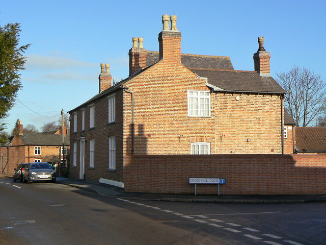
Image: © Alan Murray-Rust Taken: 12 Dec 2011
This end of the house is a later addition to the original late 18th century house which consisted of the three visible bays with central doorway. Even earlier (from at least 1710) is the taller section behind with the roof just showing. Listed Grade II.
Images are licensed for reuse under creativecommons.org/licenses/by-sa/2.0
Image Location
Latitude
52.805896
Longitude
-1.110357