Wymeswold airfield water tower
Introduction
The photograph on this page of Wymeswold airfield water tower by Alan Murray-Rust as part of the Geograph project.
The Geograph project started in 2005 with the aim of publishing, organising and preserving representative images for every square kilometre of Great Britain, Ireland and the Isle of Man.

There are currently over 7.5m images from over 14,400 individuals and you can help contribute to the project by visiting https://www.geograph.org.uk
Wymeswold airfield water tower
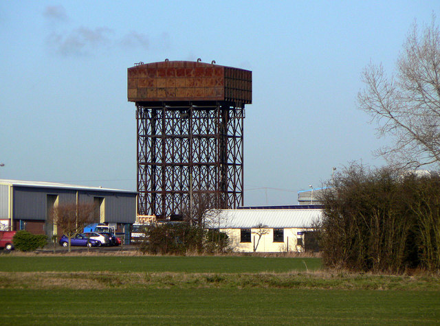
Image: © Alan Murray-Rust Taken: 12 Dec 2011
A fine example of the prefabricated water tower widely used on military installations of the Second World War. Very few now remain.
Images are licensed for reuse under creativecommons.org/licenses/by-sa/2.0
Image Location
Latitude
52.794216
Longitude
-1.123349