Footpath towards Wymeswold
Introduction
The photograph on this page of Footpath towards Wymeswold by Alan Murray-Rust as part of the Geograph project.
The Geograph project started in 2005 with the aim of publishing, organising and preserving representative images for every square kilometre of Great Britain, Ireland and the Isle of Man.

There are currently over 7.5m images from over 14,400 individuals and you can help contribute to the project by visiting https://www.geograph.org.uk
Footpath towards Wymeswold
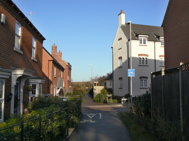
Image: © Alan Murray-Rust Taken: 12 Dec 2011
The traditional alignment of the footpath has been maintained through the new Hubbard Road development. The lower end has been adapted for joint use by cyclists.
Images are licensed for reuse under creativecommons.org/licenses/by-sa/2.0
Image Location
Latitude
52.786325
Longitude
-1.126028