Arable land around Lodge Farm
Introduction
The photograph on this page of Arable land around Lodge Farm by Trevor Rickard as part of the Geograph project.
The Geograph project started in 2005 with the aim of publishing, organising and preserving representative images for every square kilometre of Great Britain, Ireland and the Isle of Man.

There are currently over 7.5m images from over 14,400 individuals and you can help contribute to the project by visiting https://www.geograph.org.uk
Arable land around Lodge Farm
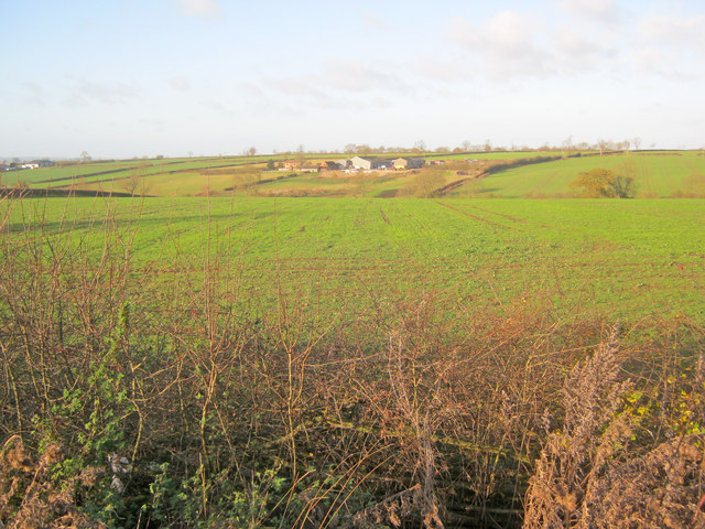
Image: © Trevor Rickard Taken: 3 Dec 2011
Looking west from the A46. Lodge Farm on the other side of the shallow valley and New York Farm just in view on the left.
Images are licensed for reuse under creativecommons.org/licenses/by-sa/2.0
Image Location
Latitude
52.771738
Longitude
-1.052651