Bridleway ending at Cutacre Tip Reclamation and Surface Mine
Introduction
The photograph on this page of Bridleway ending at Cutacre Tip Reclamation and Surface Mine by Bill Boaden as part of the Geograph project.
The Geograph project started in 2005 with the aim of publishing, organising and preserving representative images for every square kilometre of Great Britain, Ireland and the Isle of Man.

There are currently over 7.5m images from over 14,400 individuals and you can help contribute to the project by visiting https://www.geograph.org.uk
Bridleway ending at Cutacre Tip Reclamation and Surface Mine
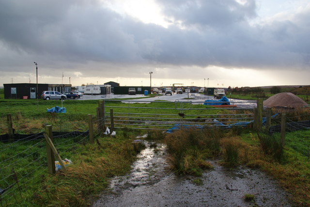
Image: © Bill Boaden Taken: 3 Dec 2011
The tip reclamation site has grown considerably more than is shown on OS maps, and this bridleway is one that has been swallowed up.
Images are licensed for reuse under creativecommons.org/licenses/by-sa/2.0
Image Location
Latitude
53.54231
Longitude
-2.453724