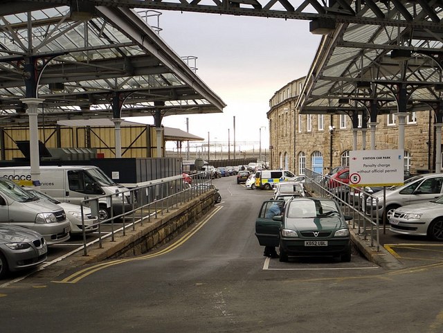
Former site of Newcastle Forth Railway Station
Introduction
The photograph on this page of Former site of Newcastle Forth Railway Station by Andrew Curtis as part of the Geograph project.
The Geograph project started in 2005 with the aim of publishing, organising and preserving representative images for every square kilometre of Great Britain, Ireland and the Isle of Man.
There are currently over 7.5m images from over 14,400 individuals and you can help contribute to the project by visiting https://www.geograph.org.uk

Image: © Andrew Curtis Taken: 15 Dec 2011
Situated just west of Central Station, off Neville Street, this was for a time the line and former platforms of the Newcastle & Carlisle Railway, a terminus for its Scotswood route on the north side of the Tyne. The old line running on a viaduct is now used for car parking Image It was the second temporary station (and possibly the third) on the line used for passengers between 1847 and 1851 http://www.disused-stations.org.uk/n/newcastle/index1.shtml In 1851, the N&CR entered Central Station proper, sharing facilities with the North East Railway with which it would eventually fully merge in 1862. Known as the Motorail Terminal, it is a Grade II Listed Building (List entry Number: 1326654) https://www.historicengland.org.uk/listing/the-list/list-entry/1326654 The former Goods Office of the NER is on the right, built in 1870 Image following the curve of the line Image

