Island tree
Introduction
The photograph on this page of Island tree by Malcolm Campbell as part of the Geograph project.
The Geograph project started in 2005 with the aim of publishing, organising and preserving representative images for every square kilometre of Great Britain, Ireland and the Isle of Man.

There are currently over 7.5m images from over 14,400 individuals and you can help contribute to the project by visiting https://www.geograph.org.uk
Island tree
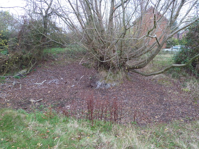
Image: © Malcolm Campbell Taken: 16 Nov 2011
View from the top of the grass bank shows how deep this can get when filled with water.
Images are licensed for reuse under creativecommons.org/licenses/by-sa/2.0
Image Location
Latitude
52.016246
Longitude
-0.784971