Housing in Sutton Road, Walsall
Introduction
The photograph on this page of Housing in Sutton Road, Walsall by Roger D Kidd as part of the Geograph project.
The Geograph project started in 2005 with the aim of publishing, organising and preserving representative images for every square kilometre of Great Britain, Ireland and the Isle of Man.

There are currently over 7.5m images from over 14,400 individuals and you can help contribute to the project by visiting https://www.geograph.org.uk
Housing in Sutton Road, Walsall
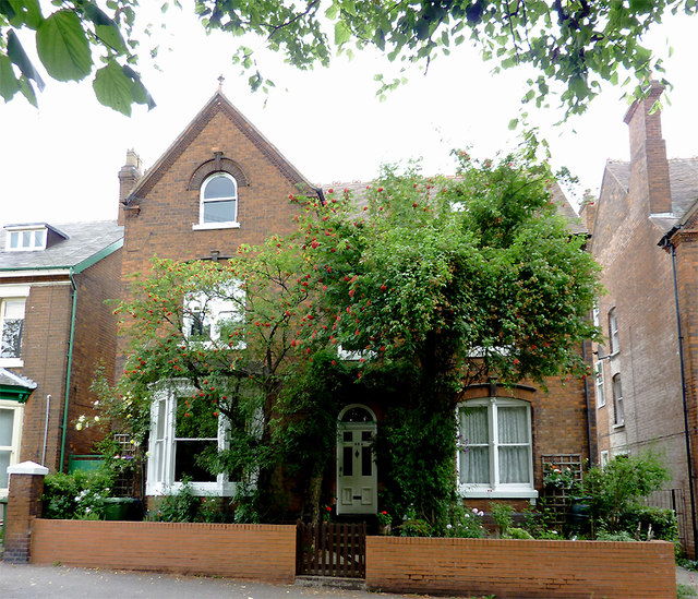
Image: © Roger D Kidd Taken: 29 Jul 2011
Early twentieth century houses of considerable size were built in Sutton Road opposite Queen Mary's Grammar and Mayfield Preparatory Schools. Even by the mid 1960s, some of these had been converted into flats (three in this instance), which were rented out. These have now been sold as separate dwellings.
Images are licensed for reuse under creativecommons.org/licenses/by-sa/2.0
Image Location
Latitude
52.579197
Longitude
-1.967992