New sea defences at Hightown
Introduction
The photograph on this page of New sea defences at Hightown by Gary Rogers as part of the Geograph project.
The Geograph project started in 2005 with the aim of publishing, organising and preserving representative images for every square kilometre of Great Britain, Ireland and the Isle of Man.

There are currently over 7.5m images from over 14,400 individuals and you can help contribute to the project by visiting https://www.geograph.org.uk
New sea defences at Hightown
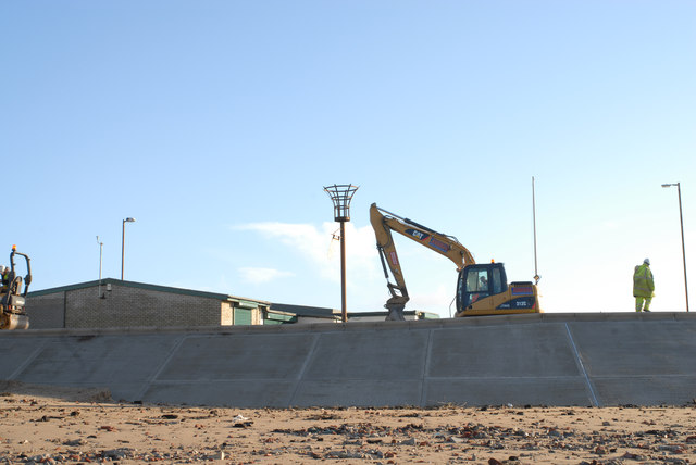
Image: © Gary Rogers Taken: 15 Dec 2010
Coastal engineering work currently in progress to update the crumbled sea defences and replace the old wooden sailing club hut at Hightown.
Images are licensed for reuse under creativecommons.org/licenses/by-sa/2.0
Image Location
Latitude
53.518045
Longitude
-3.062473