Salvation Army Citadel
Introduction
The photograph on this page of Salvation Army Citadel by Ian Capper as part of the Geograph project.
The Geograph project started in 2005 with the aim of publishing, organising and preserving representative images for every square kilometre of Great Britain, Ireland and the Isle of Man.

There are currently over 7.5m images from over 14,400 individuals and you can help contribute to the project by visiting https://www.geograph.org.uk
Salvation Army Citadel
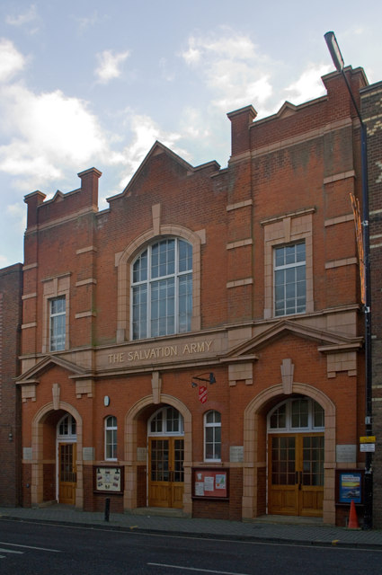
Image: © Ian Capper Taken: 3 Dec 2011
Built in 1911, on the site of a public baths hall. The building is locally listed.
Images are licensed for reuse under creativecommons.org/licenses/by-sa/2.0
Image Location
Latitude
51.751827
Longitude
-0.337499