St John the Baptist Church, Roughtown
Introduction
The photograph on this page of St John the Baptist Church, Roughtown by David Dixon as part of the Geograph project.
The Geograph project started in 2005 with the aim of publishing, organising and preserving representative images for every square kilometre of Great Britain, Ireland and the Isle of Man.

There are currently over 7.5m images from over 14,400 individuals and you can help contribute to the project by visiting https://www.geograph.org.uk
St John the Baptist Church, Roughtown
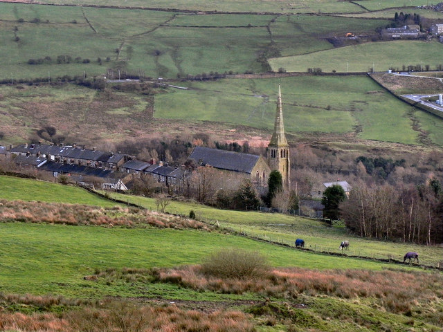
Image: © David Dixon Taken: 12 Dec 2011
Looking down from Quickedge Road, to the Church of St John the Baptist at Roughtown. The church was opened in 1878 (http://www.saddleworth-historical-society.org.uk/overview/overview.htm - Saddleworth Historical Society).
Images are licensed for reuse under creativecommons.org/licenses/by-sa/2.0
Image Location
Latitude
53.523571
Longitude
-2.037821