The path to Sibford Ferris [5]
Introduction
The photograph on this page of The path to Sibford Ferris [5] by Michael Dibb as part of the Geograph project.
The Geograph project started in 2005 with the aim of publishing, organising and preserving representative images for every square kilometre of Great Britain, Ireland and the Isle of Man.

There are currently over 7.5m images from over 14,400 individuals and you can help contribute to the project by visiting https://www.geograph.org.uk
The path to Sibford Ferris [5]
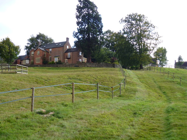
Image: © Michael Dibb Taken: 28 Aug 2011
The ascent from the valley bottom to Woodway Road in Sibford Ferris is rather steep.
Images are licensed for reuse under creativecommons.org/licenses/by-sa/2.0
Image Location
Latitude
52.032984
Longitude
-1.485537