Cranes at Victory Pier Development
Introduction
The photograph on this page of Cranes at Victory Pier Development by David Anstiss as part of the Geograph project.
The Geograph project started in 2005 with the aim of publishing, organising and preserving representative images for every square kilometre of Great Britain, Ireland and the Isle of Man.

There are currently over 7.5m images from over 14,400 individuals and you can help contribute to the project by visiting https://www.geograph.org.uk
Cranes at Victory Pier Development
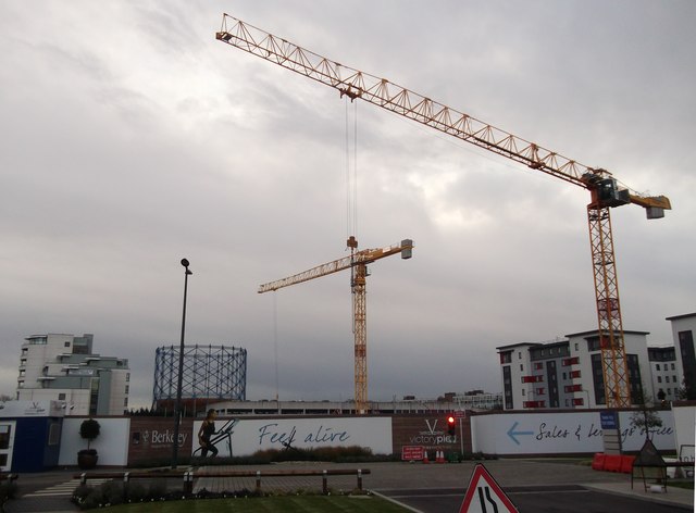
Image: © David Anstiss Taken: 14 Dec 2011
More construction is going on at the large development site beside Pier Road. In the background is the Gasometer, near Gillingham Strand and on the right, the student apartments Liberty Quays.
Images are licensed for reuse under creativecommons.org/licenses/by-sa/2.0
Image Location
Latitude
51.396476
Longitude
0.555146