Above Roe Cross
Introduction
The photograph on this page of Above Roe Cross by Dave Dunford as part of the Geograph project.
The Geograph project started in 2005 with the aim of publishing, organising and preserving representative images for every square kilometre of Great Britain, Ireland and the Isle of Man.

There are currently over 7.5m images from over 14,400 individuals and you can help contribute to the project by visiting https://www.geograph.org.uk
Above Roe Cross
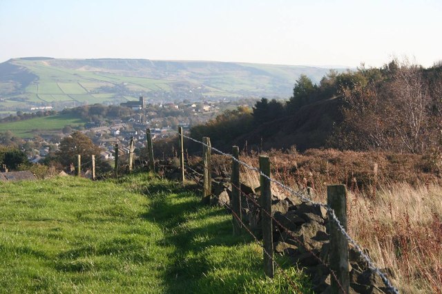
Image: © Dave Dunford Taken: 22 Oct 2011
The cutting carrying the A6018 is to the right; in the distance is Image From the footpath between Gallowsclough Farm (Matley) and Roe Cross on a hazy late-October afternoon.
Images are licensed for reuse under creativecommons.org/licenses/by-sa/2.0
Image Location
Latitude
53.466768
Longitude
-2.023008