Blakelow Road/Stoneyfold Lane junction
Introduction
The photograph on this page of Blakelow Road/Stoneyfold Lane junction by Peter Turner as part of the Geograph project.
The Geograph project started in 2005 with the aim of publishing, organising and preserving representative images for every square kilometre of Great Britain, Ireland and the Isle of Man.

There are currently over 7.5m images from over 14,400 individuals and you can help contribute to the project by visiting https://www.geograph.org.uk
Blakelow Road/Stoneyfold Lane junction
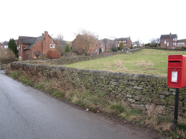
Image: © Peter Turner Taken: 14 Dec 2011
The actual junction LH edge and looking across the corner of the field.
Images are licensed for reuse under creativecommons.org/licenses/by-sa/2.0
Image Location
Latitude
53.253156
Longitude
-2.103529