Footpath and cycle route using former railway tracked near Nantgarw
Introduction
The photograph on this page of Footpath and cycle route using former railway tracked near Nantgarw by Jaggery as part of the Geograph project.
The Geograph project started in 2005 with the aim of publishing, organising and preserving representative images for every square kilometre of Great Britain, Ireland and the Isle of Man.

There are currently over 7.5m images from over 14,400 individuals and you can help contribute to the project by visiting https://www.geograph.org.uk
Footpath and cycle route using former railway tracked near Nantgarw
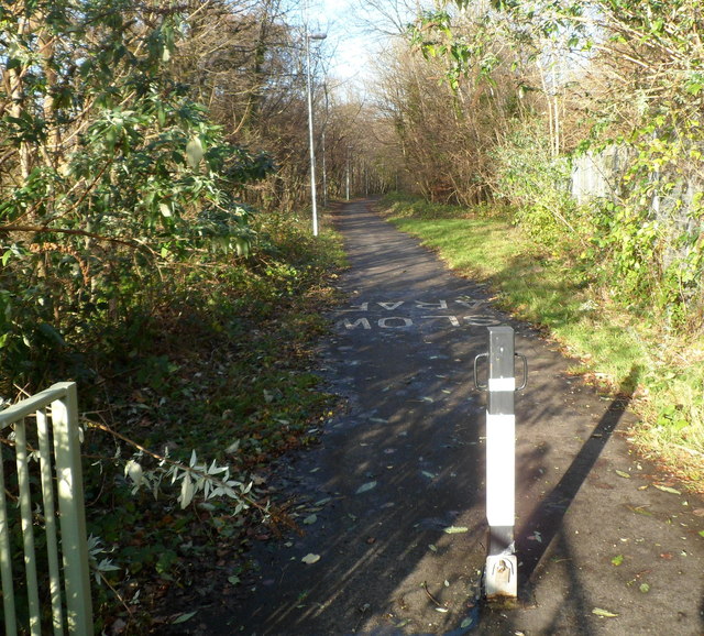
Image: © Jaggery Taken: 9 Dec 2011
This was formerly the trackbed of the Cardiff Railway, which was absorbed by the Great Western Railway on January 1st 1922. Stonework remnants of the Cardiff Railway are nearby. http://www.geograph.org.uk/photo/2730760
Images are licensed for reuse under creativecommons.org/licenses/by-sa/2.0
Image Location
Latitude
51.553382
Longitude
-3.272085