Taffs Well: Park Lane house with a view of Garth Hill
Introduction
The photograph on this page of Taffs Well: Park Lane house with a view of Garth Hill by Jaggery as part of the Geograph project.
The Geograph project started in 2005 with the aim of publishing, organising and preserving representative images for every square kilometre of Great Britain, Ireland and the Isle of Man.

There are currently over 7.5m images from over 14,400 individuals and you can help contribute to the project by visiting https://www.geograph.org.uk
Taffs Well: Park Lane house with a view of Garth Hill
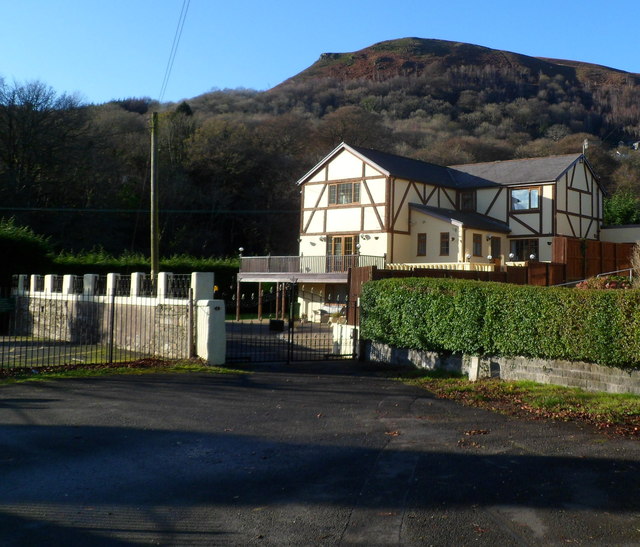
Image: © Jaggery Taken: 9 Dec 2011
The house is near an entrance to Taffs Well Park. The summit of Garth Hill Image is 307 metres (1,007 ft) above mean sea level.
Images are licensed for reuse under creativecommons.org/licenses/by-sa/2.0
Image Location
Latitude
51.545292
Longitude
-3.271859