Thornhill Park, Belfast (2011)
Introduction
The photograph on this page of Thornhill Park, Belfast (2011) by Albert Bridge as part of the Geograph project.
The Geograph project started in 2005 with the aim of publishing, organising and preserving representative images for every square kilometre of Great Britain, Ireland and the Isle of Man.

There are currently over 7.5m images from over 14,400 individuals and you can help contribute to the project by visiting https://www.geograph.org.uk
Thornhill Park, Belfast (2011)
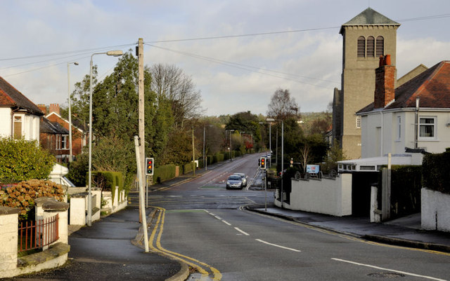
Image: © Albert Bridge Taken: 13 Dec 2011
The Upper Newtownards Road end of a suburban road running from Barnett’s Road Image The Castlehill Road Image is straight ahead. Stormont Presbyterian church Image is on the right. Continue to Image (August 2013).
Images are licensed for reuse under creativecommons.org/licenses/by-sa/2.0
Image Location
Latitude
54.594061
Longitude
-5.846217