Footpath to Temple Mills
Introduction
The photograph on this page of Footpath to Temple Mills by Michael Dibb as part of the Geograph project.
The Geograph project started in 2005 with the aim of publishing, organising and preserving representative images for every square kilometre of Great Britain, Ireland and the Isle of Man.

There are currently over 7.5m images from over 14,400 individuals and you can help contribute to the project by visiting https://www.geograph.org.uk
Footpath to Temple Mills
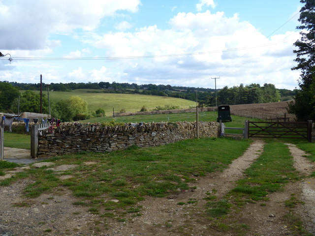
Image: © Michael Dibb Taken: 28 Aug 2011
Seen from Leas Farm, the footpath runs over the crest of the ridge in the middle distance and on to Temple Mills (hidden from view in the valley).
Images are licensed for reuse under creativecommons.org/licenses/by-sa/2.0
Image Location
Latitude
52.021921
Longitude
-1.505483