Brassington sewage works
Introduction
The photograph on this page of Brassington sewage works by Nikki Mahadevan as part of the Geograph project.
The Geograph project started in 2005 with the aim of publishing, organising and preserving representative images for every square kilometre of Great Britain, Ireland and the Isle of Man.

There are currently over 7.5m images from over 14,400 individuals and you can help contribute to the project by visiting https://www.geograph.org.uk
Brassington sewage works
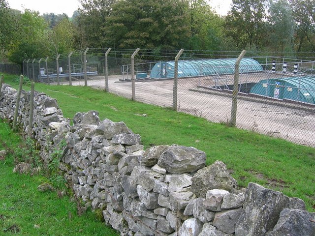
Image: © Nikki Mahadevan Taken: 5 Nov 2006
The footpath runs between the wall and the sewage works but not through the wooded area as shown on the map. The final treatment point can be seen the other side of the wooded area Image
Images are licensed for reuse under creativecommons.org/licenses/by-sa/2.0
Image Location
Latitude
53.080038
Longitude
-1.6596