Flax House, Navigation Walk, Leeds
Introduction
The photograph on this page of Flax House, Navigation Walk, Leeds by Stephen Richards as part of the Geograph project.
The Geograph project started in 2005 with the aim of publishing, organising and preserving representative images for every square kilometre of Great Britain, Ireland and the Isle of Man.

There are currently over 7.5m images from over 14,400 individuals and you can help contribute to the project by visiting https://www.geograph.org.uk
Flax House, Navigation Walk, Leeds
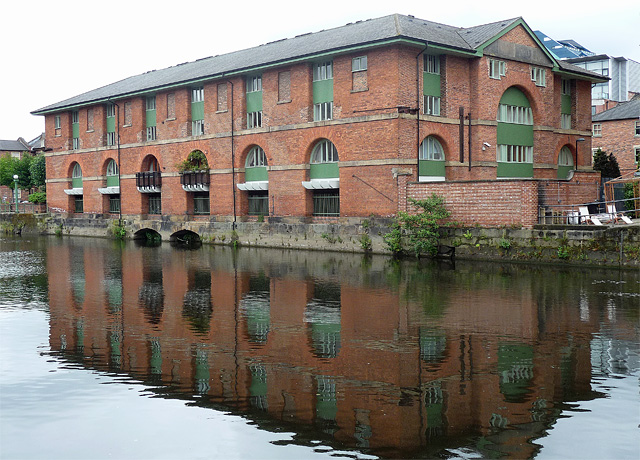
Image: © Stephen Richards Taken: 19 Jun 2011
One of countless C19th warehouses converted into flats over the last few decades. This one dates perhaps from the middle of the century and has large arched windows and deep eaves.
Images are licensed for reuse under creativecommons.org/licenses/by-sa/2.0
Image Location
Latitude
53.79414
Longitude
-1.540451