The OS map says Brook End Farm
Introduction
The photograph on this page of The OS map says Brook End Farm by Mick Malpass as part of the Geograph project.
The Geograph project started in 2005 with the aim of publishing, organising and preserving representative images for every square kilometre of Great Britain, Ireland and the Isle of Man.

There are currently over 7.5m images from over 14,400 individuals and you can help contribute to the project by visiting https://www.geograph.org.uk
The OS map says Brook End Farm
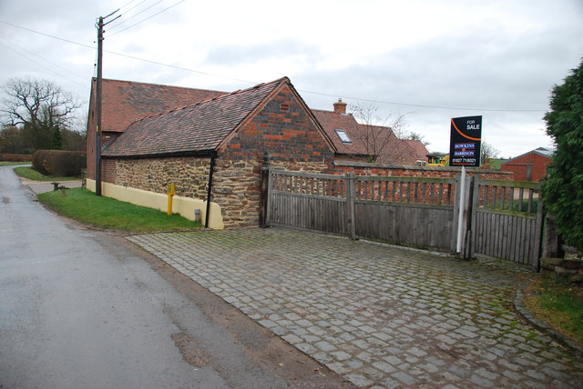
Image: © Mick Malpass Taken: 11 Dec 2011
There seems to be two Brook End Farms within a few hundred yards of each other. see link http://www.geograph.org.uk/photo/110661
Images are licensed for reuse under creativecommons.org/licenses/by-sa/2.0
Image Location
Latitude
52.551185
Longitude
-1.629341