B1116 Harleston Road crossroads & Heath House Postbox
Introduction
The photograph on this page of B1116 Harleston Road crossroads & Heath House Postbox by Geographer as part of the Geograph project.
The Geograph project started in 2005 with the aim of publishing, organising and preserving representative images for every square kilometre of Great Britain, Ireland and the Isle of Man.

There are currently over 7.5m images from over 14,400 individuals and you can help contribute to the project by visiting https://www.geograph.org.uk
B1116 Harleston Road crossroads & Heath House Postbox
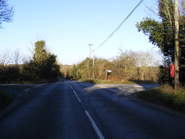
Image: © Geographer Taken: 9 Dec 2011
At the junction with Water Mill Lane & Grinder's Lane Postbox No.IP21 7110
Images are licensed for reuse under creativecommons.org/licenses/by-sa/2.0
Image Location
Latitude
52.386053
Longitude
1.299488