Oldbury Naite crossroads
Introduction
The photograph on this page of Oldbury Naite crossroads by Ruth Riddle as part of the Geograph project.
The Geograph project started in 2005 with the aim of publishing, organising and preserving representative images for every square kilometre of Great Britain, Ireland and the Isle of Man.

There are currently over 7.5m images from over 14,400 individuals and you can help contribute to the project by visiting https://www.geograph.org.uk
Oldbury Naite crossroads
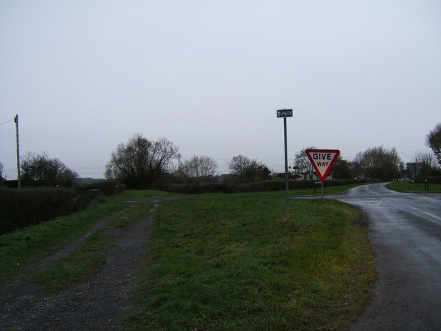
Image: © Ruth Riddle Taken: 12 Dec 2011
Looking down two roads from the end of Stoneyard Lane, as they both cross the newer smoother course of Foss Lane at right angles. "The Naite" is the modern road on the right past the crossroads; whilst the old course of Foss Lane is the track to the left, which here runs at 90 degrees to its modern replacement.
Images are licensed for reuse under creativecommons.org/licenses/by-sa/2.0
Image Location
Latitude
51.638298
Longitude
-2.54934