Lugden Bottom, heathland
Introduction
The photograph on this page of Lugden Bottom, heathland by Mike Faherty as part of the Geograph project.
The Geograph project started in 2005 with the aim of publishing, organising and preserving representative images for every square kilometre of Great Britain, Ireland and the Isle of Man.

There are currently over 7.5m images from over 14,400 individuals and you can help contribute to the project by visiting https://www.geograph.org.uk
Lugden Bottom, heathland
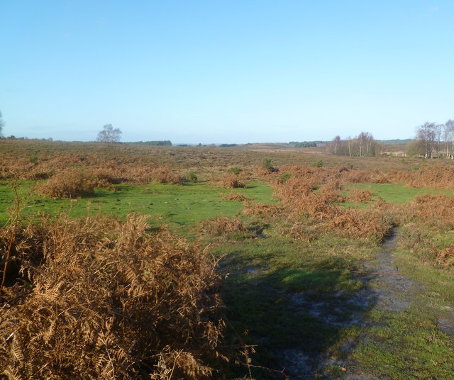
Image: © Mike Faherty Taken: 12 Dec 2011
Near the western boundary of the open forest; as its name suggests, wet and boggy.
Images are licensed for reuse under creativecommons.org/licenses/by-sa/2.0
Image Location
Latitude
50.80501
Longitude
-1.732725