Crossroads between Penycwm and Trefgarn Owen
Introduction
The photograph on this page of Crossroads between Penycwm and Trefgarn Owen by Martyn Harries as part of the Geograph project.
The Geograph project started in 2005 with the aim of publishing, organising and preserving representative images for every square kilometre of Great Britain, Ireland and the Isle of Man.

There are currently over 7.5m images from over 14,400 individuals and you can help contribute to the project by visiting https://www.geograph.org.uk
Crossroads between Penycwm and Trefgarn Owen
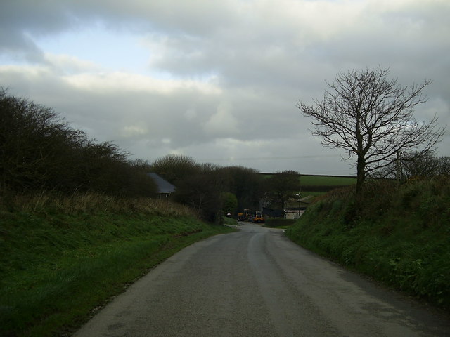
Image: © Martyn Harries Taken: 3 Dec 2011
Approaching the minor crossroads from Penycwm heading for Trefgarn Owen. Turn left for Penycwm Youth Hostel. Troed-y-rhiw farm can be seen by the crossroads.
Images are licensed for reuse under creativecommons.org/licenses/by-sa/2.0
Image Location


Leaflet Map data © OpenStreetMap
Latitude
51.88028
Longitude
-5.108738