Roman Road, Greenmere, Brightwell
Introduction
The photograph on this page of Roman Road, Greenmere, Brightwell by Des Blenkinsopp as part of the Geograph project.
The Geograph project started in 2005 with the aim of publishing, organising and preserving representative images for every square kilometre of Great Britain, Ireland and the Isle of Man.

There are currently over 7.5m images from over 14,400 individuals and you can help contribute to the project by visiting https://www.geograph.org.uk
Roman Road, Greenmere, Brightwell
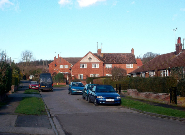
Image: © Des Blenkinsopp Taken: 9 Dec 2011
This is reputedly on the line of a Roman road between Dorchester and Silchester. By comparison with other Roman highways there's not much left of this one. Some field boundaries and a footpath over the Clumps just north of here, then this short bit of road and some more paths through Brightwell and onto the best bit, Mackney Lane, running for just over 1km south of the village before the line is lost.
Images are licensed for reuse under creativecommons.org/licenses/by-sa/2.0
Image Location
Latitude
51.616271
Longitude
-1.161533