Dunsell's Close, Ropley
Introduction
The photograph on this page of Dunsell's Close, Ropley by Peter Facey as part of the Geograph project.
The Geograph project started in 2005 with the aim of publishing, organising and preserving representative images for every square kilometre of Great Britain, Ireland and the Isle of Man.

There are currently over 7.5m images from over 14,400 individuals and you can help contribute to the project by visiting https://www.geograph.org.uk
Dunsell's Close, Ropley
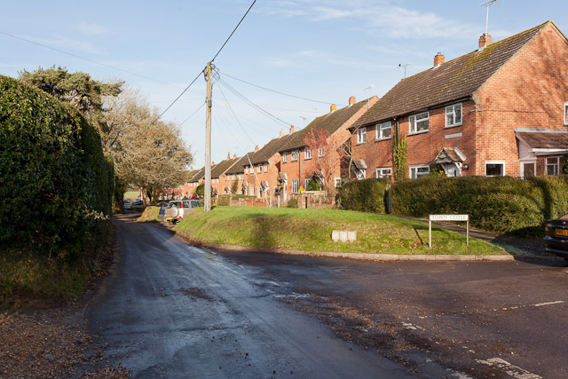
Image: © Peter Facey Taken: 10 Dec 2011
Along Dunsell's Lane, and looking out leftwards over the graveyard. Town Close, a residential cul de sac is in right foreground.
Images are licensed for reuse under creativecommons.org/licenses/by-sa/2.0
Image Location
Latitude
51.084043
Longitude
-1.078245