The Ceredigion Coastal Path near Llanon
Introduction
The photograph on this page of The Ceredigion Coastal Path near Llanon by Eirian Evans as part of the Geograph project.
The Geograph project started in 2005 with the aim of publishing, organising and preserving representative images for every square kilometre of Great Britain, Ireland and the Isle of Man.

There are currently over 7.5m images from over 14,400 individuals and you can help contribute to the project by visiting https://www.geograph.org.uk
The Ceredigion Coastal Path near Llanon
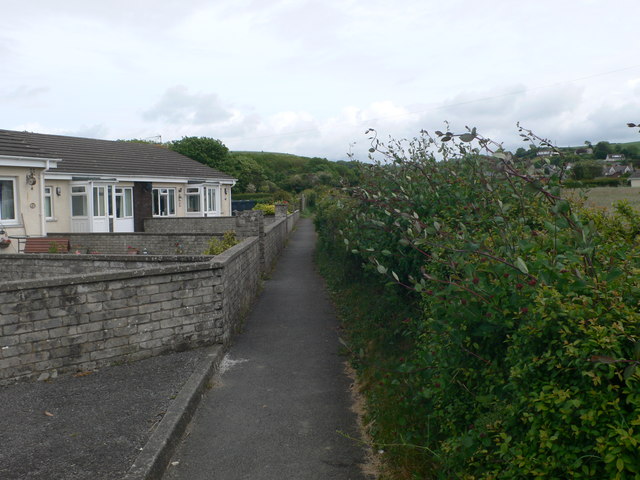
Image: © Eirian Evans Taken: 14 May 2011
Two routes are available here, but the one along the coast can be impassable when the river is high. This is the alternative, cutting through a narrow path and into the village of Llanon. This is the start of the deviation from Stryd yr Eglwys.
Images are licensed for reuse under creativecommons.org/licenses/by-sa/2.0
Image Location
Latitude
52.284483
Longitude
-4.180937