Hall Farm Yard
Introduction
The photograph on this page of Hall Farm Yard by Roger Jones as part of the Geograph project.
The Geograph project started in 2005 with the aim of publishing, organising and preserving representative images for every square kilometre of Great Britain, Ireland and the Isle of Man.

There are currently over 7.5m images from over 14,400 individuals and you can help contribute to the project by visiting https://www.geograph.org.uk
Hall Farm Yard
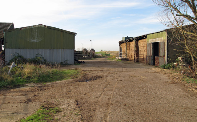
Image: © Roger Jones Taken: 10 Dec 2011
Also marked as Hill's Farm, Steeple Hall. Public footpath runs past these farm buildings towards Mayland Creek.
Images are licensed for reuse under creativecommons.org/licenses/by-sa/2.0
Image Location
Latitude
51.692731
Longitude
0.787853