Mercer Row
Introduction
The photograph on this page of Mercer Row by Ian Capper as part of the Geograph project.
The Geograph project started in 2005 with the aim of publishing, organising and preserving representative images for every square kilometre of Great Britain, Ireland and the Isle of Man.

There are currently over 7.5m images from over 14,400 individuals and you can help contribute to the project by visiting https://www.geograph.org.uk
Mercer Row
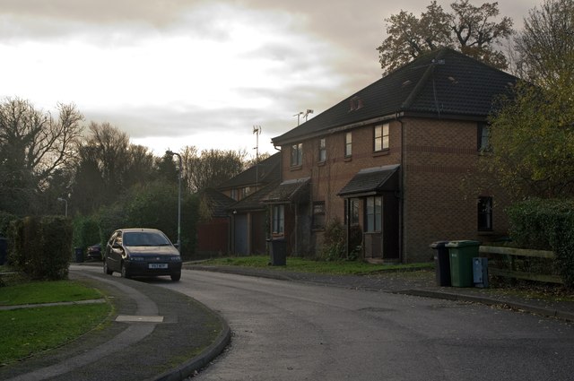
Image: © Ian Capper Taken: 3 Dec 2011
1908s development off Wilshere Avenue. The road name commemorates Thomas Mercer Ltd, manufacturer of Chronographs and other instruments, who had a factory in nearby Eywood Road (now Griffiths Way) until the company closed in 1984.
Images are licensed for reuse under creativecommons.org/licenses/by-sa/2.0
Image Location
Latitude
51.742126
Longitude
-0.345909