Rough grazing, Castleshaw
Introduction
The photograph on this page of Rough grazing, Castleshaw by michael ely as part of the Geograph project.
The Geograph project started in 2005 with the aim of publishing, organising and preserving representative images for every square kilometre of Great Britain, Ireland and the Isle of Man.

There are currently over 7.5m images from over 14,400 individuals and you can help contribute to the project by visiting https://www.geograph.org.uk
Rough grazing, Castleshaw
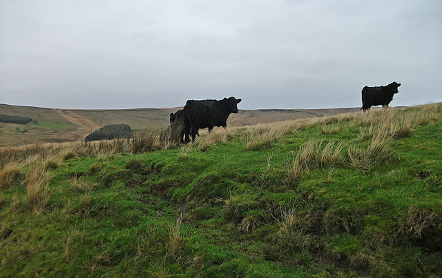
Image: © michael ely Taken: 26 Nov 2011
View from footpath around Castleshaw Upper Reservoir.
Images are licensed for reuse under creativecommons.org/licenses/by-sa/2.0
Image Location


Leaflet Map data © OpenStreetMap
Latitude
53.585057
Longitude
-2.002681