Crossroads, Fernieflatt
Introduction
The photograph on this page of Crossroads, Fernieflatt by Richard Webb as part of the Geograph project.
The Geograph project started in 2005 with the aim of publishing, organising and preserving representative images for every square kilometre of Great Britain, Ireland and the Isle of Man.

There are currently over 7.5m images from over 14,400 individuals and you can help contribute to the project by visiting https://www.geograph.org.uk
Crossroads, Fernieflatt
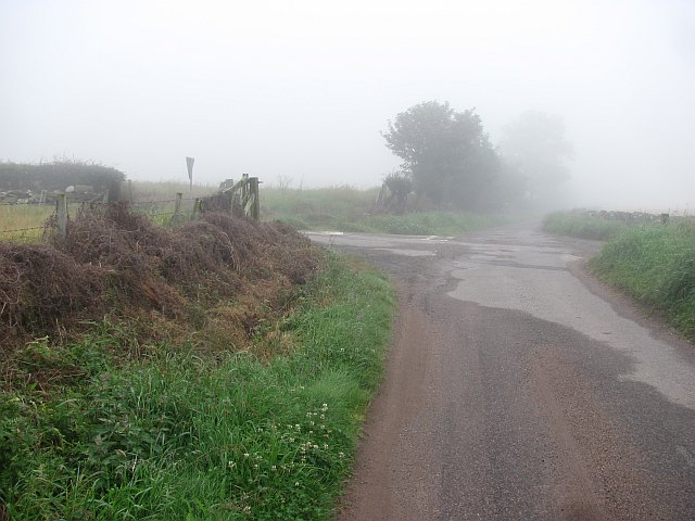
Image: © Richard Webb Taken: 3 Aug 2011
Minor roads and a farm drive near Catterline. Summer days can be changed utterly by the haar.
Images are licensed for reuse under creativecommons.org/licenses/by-sa/2.0
Image Location
Latitude
56.886039
Longitude
-2.237611