Southern slope of Corndon Hill
Introduction
The photograph on this page of Southern slope of Corndon Hill by Trevor Littlewood as part of the Geograph project.
The Geograph project started in 2005 with the aim of publishing, organising and preserving representative images for every square kilometre of Great Britain, Ireland and the Isle of Man.

There are currently over 7.5m images from over 14,400 individuals and you can help contribute to the project by visiting https://www.geograph.org.uk
Southern slope of Corndon Hill
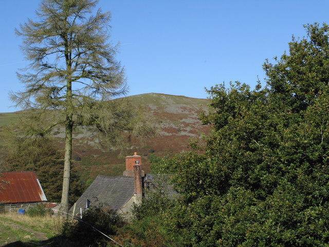
Image: © Trevor Littlewood Taken: 5 Oct 2007
Grey scree contrasts with the brown of dead bracken and the grassed upper slope of Corndon Hill as seen over the roofs of buildings at Brithdir.
Images are licensed for reuse under creativecommons.org/licenses/by-sa/2.0
Image Location


Leaflet Map data © OpenStreetMap
Latitude
52.556031
Longitude
-3.026686