Fields near Blaenau
Introduction
The photograph on this page of Fields near Blaenau by Hywel Williams as part of the Geograph project.
The Geograph project started in 2005 with the aim of publishing, organising and preserving representative images for every square kilometre of Great Britain, Ireland and the Isle of Man.

There are currently over 7.5m images from over 14,400 individuals and you can help contribute to the project by visiting https://www.geograph.org.uk
Fields near Blaenau
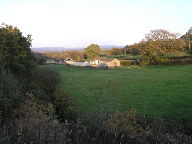
Image: © Hywel Williams Taken: 4 Nov 2006
A rural scene, looking towards the Black Mountain in the distance. It's hard to believe, but until 1951 a mineral railway ran through this scene to the left of the picture, part of the Mountain Branch of the Central Wales Line that ran from Pantyffynon to Cross Hands, linking numerous collieries. Almost all of these have now closed.
Images are licensed for reuse under creativecommons.org/licenses/by-sa/2.0
Image Location
Latitude
51.803664
Longitude
-4.020282