Benchmark, Little Durnford Manor
Introduction
The photograph on this page of Benchmark, Little Durnford Manor by Jonathan Kington as part of the Geograph project.
The Geograph project started in 2005 with the aim of publishing, organising and preserving representative images for every square kilometre of Great Britain, Ireland and the Isle of Man.

There are currently over 7.5m images from over 14,400 individuals and you can help contribute to the project by visiting https://www.geograph.org.uk
Benchmark, Little Durnford Manor
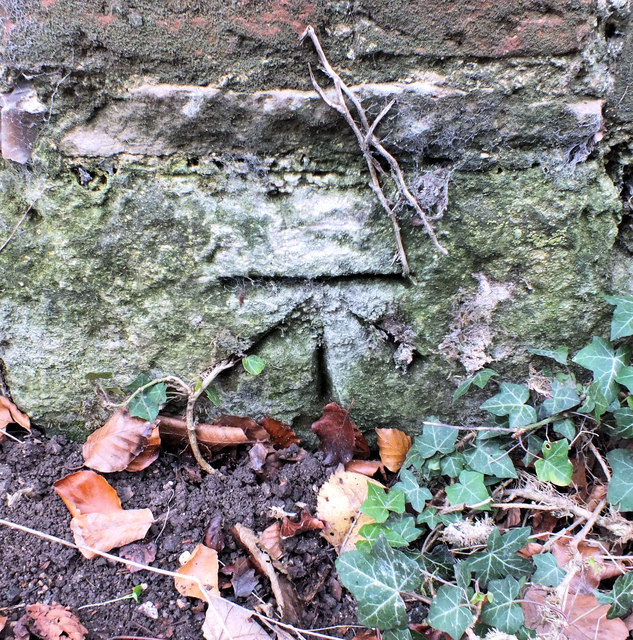
Image: © Jonathan Kington Taken: 8 Dec 2011
The cut mark is at the bottom of the roadside wall outside Little Durnford Manor, for a wider view see Image For more information on the benchmark visit http://www.bench-marks.org.uk/bm40478 .
Images are licensed for reuse under creativecommons.org/licenses/by-sa/2.0
Image Location
Latitude
51.106962
Longitude
-1.821833