St Stephen's Hill
Introduction
The photograph on this page of St Stephen's Hill by Ian Capper as part of the Geograph project.
The Geograph project started in 2005 with the aim of publishing, organising and preserving representative images for every square kilometre of Great Britain, Ireland and the Isle of Man.

There are currently over 7.5m images from over 14,400 individuals and you can help contribute to the project by visiting https://www.geograph.org.uk
St Stephen's Hill
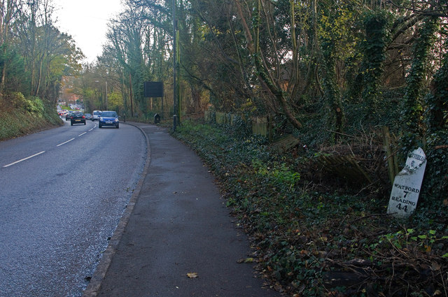
Image: © Ian Capper Taken: 3 Dec 2011
The A5183 (historically the A5) leading towards Holywell Hill and the centre of St Albans. For close up of the milepost on the right, see Image
Images are licensed for reuse under creativecommons.org/licenses/by-sa/2.0
Image Location
Latitude
51.742838
Longitude
-0.346636