Breedon on the Hill from the air
Introduction
The photograph on this page of Breedon on the Hill from the air by Thomas Nugent as part of the Geograph project.
The Geograph project started in 2005 with the aim of publishing, organising and preserving representative images for every square kilometre of Great Britain, Ireland and the Isle of Man.

There are currently over 7.5m images from over 14,400 individuals and you can help contribute to the project by visiting https://www.geograph.org.uk
Breedon on the Hill from the air
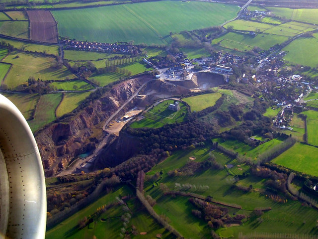
Image: © Thomas Nugent Taken: 5 Dec 2011
Dominated by the quarry. See the church in the centre of the photo here Image See also Image which was taken in September 2014.
Images are licensed for reuse under creativecommons.org/licenses/by-sa/2.0
Image Location
Latitude
52.807536
Longitude
-1.400641